


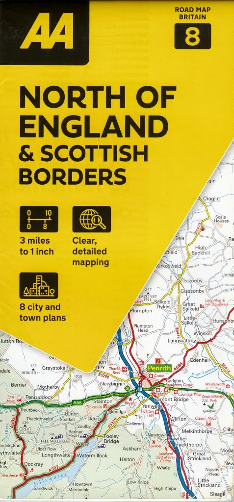
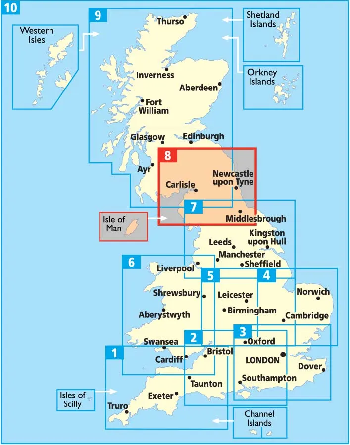
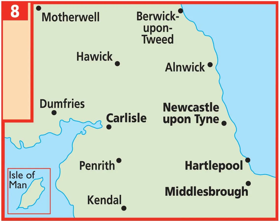
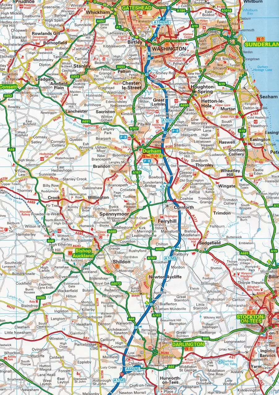
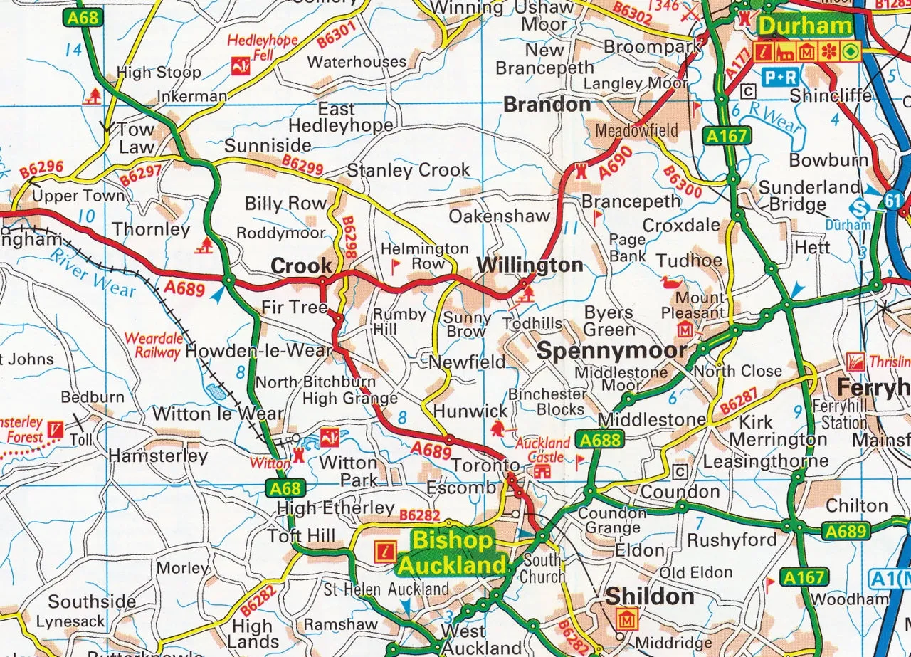
The North of England & Scottish Borders road map is a detailed and easy-to-read, foldable map from the experts at the AA. Encased in a durable, weatherproof cover, the mapping is produced at a scale of 3 miles to 1 inch (1:200,000 / 2km to 1cm).
The map shows: toll points, service areas, road numbers, motorways, dual carriageways and wide narrow local roads, National Parks and other places of interest.
Map features:
- Fully updated speed camera locations, plus speed cameras with speed limits shown
- Clear place name index
- 7 city and town plans
- Caravan & camping sites are pinpointed on the mapping
- National Parks and places of interest are also highlighted
- National Trust, English Heritage, Scottish and Welsh Heritage sites shown
Includes CBD Maps of Carlisle, Darlington, Durham, Middlesborough, Newcastle, Stockton-on-Tees & Sunderland.
Also includes a comprehensive place name index.
Format: Paper folded
Scale: 1:200,000
Size: 1200 mm x 980 mm
Published: 2024


